
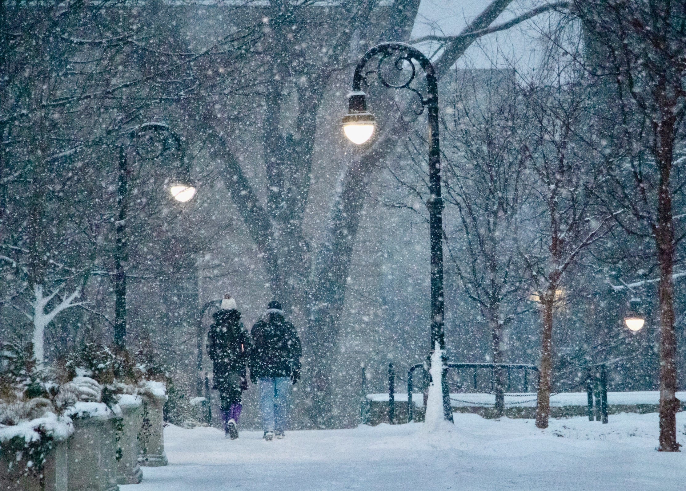
Central Pennsylvania’s first snowstorm of the season appears to be on its way as the National Weather Service has issued a Winter Storm Watch from Saturday morning through Sunday morning.
Centre County is expected to see 4 to 8 inches of snow from early afternoon on Saturday into Sunday morning, AccuWeather Senior Meteorologist Tom Kines said. The heaviest snowfall should come in the early evening and nighttime hours on Saturday.
“I don’t think there will be any ice mixed in,” Kines said. “For the most part it will be a dry snow, which is good news for those that have to shovel it. Obviously the fluffy snow is much more manageable to move around than the heavy wet snow. It shouldn’t be a backbreaker type of snow.”
It will, however, make for treacherous travel conditions.
“Obviously travel will be a slow go as the day wears on Saturday into Saturday night,” Kines said. “It should improve some on Sunday as the storm moves away. There might be some snow showers on Sunday, but I think the accumulating snow is Saturday afternoon and Saturday night. At least traveling-wise, Sunday’s probably a better day than Saturday.
The storm may throw a wrench into the travel plans for thousands of Penn State students returning to the State College area from winter break this weekend, with spring semester classes beginning on Monday.
The southeastern part of the state should see little snow, while the Harrisburg area will likely get some snow before a changeover to rain, sleet and freezing rain, Kines said. Those traveling on Interstate 80 toward State College on Saturday afternoon and evening can expect to encounter snow and slippery conditions.
“In general, no matter where you are Saturday afternoon, traveling into State College is not going to be good,” Kines said. “Sunday’s a better day.”
The NWS Winter Weather Watch indicated the worst travel can be expected along Interstates 80 and 81, “with snowfall rates in excess of one inch per hour at times creating snow covered roads and poor visibility.”
Another winter storm is on the horizon for early next week, though with less snow forecasted.
“There’s another storm that we’re going to be somewhat concerned about, probably on Tuesday,” Kines said. “That looks to be a warmer storm but on the front end of it there can certainly be some snow or ice to deal with, but I think that precipitation will change over to just plain rain eventually.”
Only 0.7 inches of snow has been recorded so far this winter in State College, according to the National Weather Service.
More Local News
View all Local News
Ferguson Township Supervisors Mull Options to Restrict Flock Cameras
Ferguson Township’s Board of Supervisors on Tuesday discussed ways to restrict or ban controversial automated license plate readers in the municipality, though feasible options remained uncertain. The cameras — made […]
Nittany Valley Symphony to Launch 2026-27 Season With ‘Dreams of the Forest’
The Nittany Valley Symphony will present its 2026–27 season opener, “Dreams of the Forest” at 3 p.m. Sunday, Sept. 20, at Bellefonte Area High School. Tickets are $33.85 including fees […]
Bellefonte School District Officials, Union Discuss Negotiations and Next Steps as Potential Strike Looms
Bellefonte Area School District officials on Tuesday spoke about contract negotiations to date and the road ahead, a day after unionized teachers and staff authorized a potential strike for mid-October. […]


