College Township Council recently authorized a 45-day public input period on the township’s official map.
An official map — which is an ordinance and planning tool provided to local governments under the Pennsylvania Municipalities Planning Code — shows the locations of possible future public lands and facilities such as streets, trails, parks, open spaces, nature preserves, sidewalk systems, easements and right-of-ways.
According to a news release, an official map expresses the municipality’s interest in lands for public purposes sometime in the future and notifies developers and property owners of this interest.
“The map is not a required ordinance but is a useful tool to ensure the implementation of College Township’s adopted plans, specifically Walkable College Township – The Pedestrian Facilities Master Plan,” according to the release. “The Official Map not only comes into effect when a land development plan or subdivision plan is submitted for a property with a reservation for future use, but also when a state road improvement project is proposed on a route with a reservation.”
College Township’s official map was last updated in 2015.
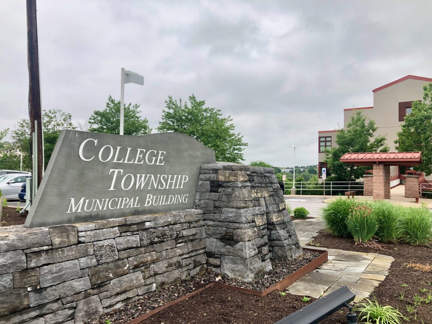
The public input period started on Aug. 7, and will conclude following a public hearing during council’s regular meeting at 7 p.m. on Sept. 21 at the Municipal Building, 1481 E. College Ave.
For those interested in providing input, the township has developed a story map and survey.
Hard copy versions of the map and survey are available 8 a.m. to 5 p.m. on weekdays during the input period at the Municipal Building
Questions about the development of the official map can be directed to township planner Lindsay Schoch at lschoch@collegetownship.org or at (814) 231-3021


