This is the final installment of our series looking at North Atherton Street and its development into a major commercial district.
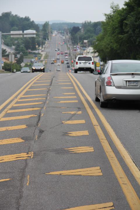
Bob Donaldson grew up in College Heights and has seen North Atherton Street grow from, in his words, ‘virtually nothing’ to what is today: a major four-lane commercial thoroughfare, with a center divider, bisecting State College and Ferguson and Patton townships.
‘I think the only place north of town was Woodycrest, and that was really far out of town,’ recalled Donaldson, retired Center County planning director.
‘The thing I can remember that you can relate to is the Esso station – which became the College Heights Exxon – next to my elementary school,’ Donaldson said. ‘I worked there in junior high. Just beyond that at the Blockbuster building was the old Clemson garage. A little bit farther on the left, where the railroad tracks used to be – at the bottom of the hill – was the old Buick garage.’
That was about it.
‘There was one more car dealer on North Atherton,’ Donaldson said. ‘Beyond that, the two-lane road kind of petered out.’
Donaldson was born in 1937. A decade earlier, Woodycrest ‘was a wilderness of scrub trees and brush,’ Paul M. Dubbs wrote in ‘Where to Go and Place-Names of Centre County.’ ‘(U.S. Route) 322 did not exist and the only route to the town was a dirt road meandering from State College to Waddle.’
But when a former Clinton County farmer, W. A. Strouse, married the widow of David Lauck, they moved into a partially completed house – formerly owned by Sarah E. Weiland, who died before it was finished – on 65 acres of land, Dubbs reported.
Strouse then sold lots for $20 to $50 each and even helped prospective Woodycrest residents finance the purchase of building supplies.
‘Building in Woodycrest received a big impetus about 1932 when Rt. 322 – a new road – was built from State College to Martha,’ Dubbs wrote. Development was haphazard, however, and planning was nonexistent.
That was not the case on the west side of North Atherton Street. There, J. Alvin Hawbaker built one of the region’s first completely planned developments – Park Forest Village – in what was known as the Barrens in Patton Township.
‘That was the beginning of urbanization of State College metropolitan area,’ Donaldson told StateCollege.com.
Jo Chesworth, in ‘Story of the Century: The Borough of State College, Pennsylvania, 1896-1996,’ wrote that many local residents thought Hawbaker ‘was crazy to sink capital into the 1,000-acre project, but time bore out his wisdom.’
‘By 1966, Park Forest had 450 homes and 1,700 residents,’ Chesworth wrote in the June 2002 edition of Town & Gown magazine.
Another parcel that went from rural to urban seemingly overnight was the Dreibelbis family farm.
‘The 200-acre dairy farm bordered Circleville Road, Atherton Street, Aaron Drive and what is now Park Hills, but in the 1950s, as the area became more commercialized, Galen’s father, Bruce, sold pieces of it on the west side of Atherton to businessmen George Dix and Bill Whitehill, among others,’ Chesworth wrote in her Town & Gown article ‘North Atherton Street: A Depression-era highway brought a new avenue of progress to State College.’
‘After their father’s death, the five Dreibelbis children divided up the remaining acreage, and Galen developed Northland Center and State College Park student apartments on his share. … (H)is auctioneer brother Don sold his share – the farmhouse, auction barn and 21 acres – to the Tom Tudek Memorial Park Trust.’
Development ‘evolved,’ Donaldson said, as ‘the natural growth of the town – north, southeast and west. State College expanded, and commercial and business places followed. And they located along the major highways: (Routes) 322, 26 and 45.’
The Lakes-to-Sea Highway, also known as the Ship-to-Shore Highway, originated in Cleveland and ran from Erie southeast through Harrisburg and Philadelphia to Atlantic City. It cut through State College via the extended and widened North Atherton Street.
The next period of growth in the early 1980s was spurred by another highway – the Mount Nittany Expressway – and its interchange at Valley Vista Drive, Donaldson said: ‘All these things mean, to the marketing experts, that we’ve got to have one of our facilities in that area.’
K-Mart was actually State College’s first so-called ‘big box’ store at 100 Valley Vista, where it was joined by Weis Markets.
The Northland Center opened in 1989 at Atherton and Clinton Avenue. North Atherton Place opened in 1991 at Vairo Boulevard. Then came The Colonnade in 2000, as Chesworth reported in the June 2002 issue of Town & Gown.
‘Now we wait for I-99 to arrive, taking properties in its path. … (It) will follow the Mount Nittany Expressway to the relocated Benner Pike and on to the Bellefonte Bypass until it meets up with I-80. Then, they tell us, we’ll really see what growth is all about!’
The latest growth spurt, brought about by Interstate 99, has been, in Patton Township Manager Doug Erickson’s words, ‘a challenge.’
‘Change is tough for a lot of people,’ Erickson noted.
But it has been anticipated by officials in the Centre Region townships bordering State College.
‘That area has been commercially zoned since the 1970s,’ Erickson said. ‘Development is finally catching up.’
And as it did, it followed the highway.
‘What you see with retail, especially the national companies, they want to see a large car count in front of their building,’ Erickson said. ‘Atherton Street – with I-99 – there is a whole lot of traffic tending to come over that end of the metropolitan area. That’s what brought Home Depot and Lowes – Lowes needed more space and built a larger store.’
Old buildings continue to make way for new businesses. Two of the most recent is the Chick-fil-A at 1938 N. Atherton, and the nearby Cracker Barrel on Colonnade Boulevard. Also ongoing is what Donaldson called ‘in-filling’ – developing properties such as the former mobile home court that have thus far been bypassed and open sites in The Colonnade and elsewhere.
Erickson said Patton Township has several ‘pad-ready sites’ – ‘Greentree Commons behind Ameriserv and Robert M. Sides has about 90,000 square feet of retail space available. The pre-move Lowe’s site has probably 100,000 square feet.’
The next major growth in the area, Erickson and Donaldson agree, is likely to be the completion of the original Toftrees plan and the development of that plan’s northwest quadrant near the Waddle Road interchange.
That development, too, will depend on the highway infrastructure.
‘The I-99 Waddle Road Interchange does not have the capacity to handle any new development out there,’ Donaldson said. ‘The township and the owners of the Toftrees property have pledged millions of dollars to redo the interchange to standards PennDOT can approve. … The township is doing what PennDOT should be doing – if PennDOT had any money.’
Based on history, that project, when completed, is likely to spur even more development.
‘I don’t know where all the people are going to come from, but I’ve been saying that for 20 years and there are very few vacancies,’ Donald said. ‘I guess the message is, you build it, and they will come.’
Earlier coverage


