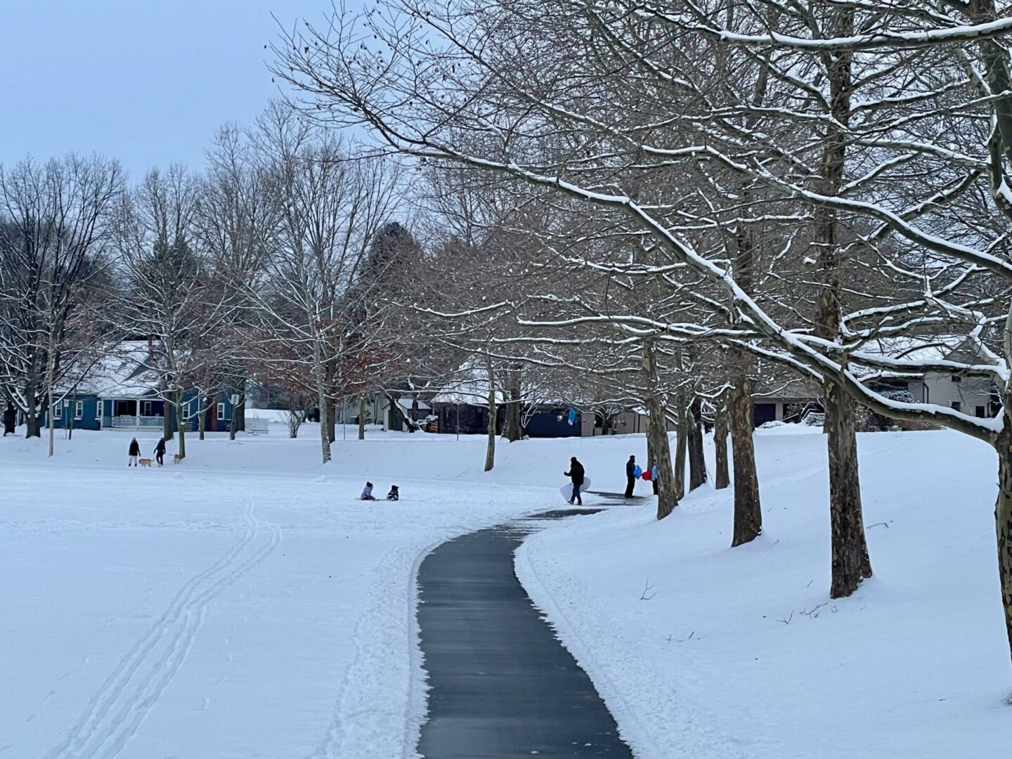
A winter storm spanning a large swath of the country could bring Centre County’s largest snow accumulation in more than five years after it arrives late Saturday night.
The National Weather Service has issued a winter storm warning for the county from 10 p.m. Saturday to 1 p.m. Monday, with forecasts ranging from 8 to 18 inches of snow for the region.
Snow is expected to arrive in central Pennsylvania late Saturday night and increase in intensity during daytime hours on Sunday, AccuWeather senior meteorologist Tom Kines said.
“The heaviest snow likely comes during the day on Sunday, and that’s when we could probably have snowfall rates of one to maybe two inches an hour for a time,” Kines said. “And that’s pretty heavy stuff when you start talking an inch an hour.”
The National Weather Service warning urged people to delay travel on Sunday, and PennDOT is already planning for vehicle restrictions on interstates and other major roadways in the commonwealth.
No ice or sleet is anticipated in Centre County, resulting in a dry, fluffy snow, what Kines called a “silver lining” for those who will have to shovel it.
The National Weather Service forecasts 10 to 18 inches of snow for Centre County. AccuWeather is forecasting a total storm accumulation of 8 to 12 inches as of Friday afternoon, with Kines saying it will likely be on the higher end of that range.
It has the potential to be the largest snowfall in the State College area since Dec. 17, 2020, when there was 15 inches.
The storm will be accompanied by frigid temperatures in the teens with wind chill values as low as -10 degrees. Wind may also cause blowing and drifting of snow into the early part of the week.
Though the storm may end by Sunday night, there’s a strong possibility of delays and closings for schools and businesses on Monday, Kines said.
Centre County government announced on Friday that “county operations that can close will be closed” on Monday. Centre County Court Administration, meanwhile, said the courthouse will be closed Monday and have a delayed opening at noon on Tuesday.
While the storm has been the subject of much attention throughout the week, Kines said it was difficult to forecast more than a few days out.
“We’ve known all along there’s going to be a storm in the South with snow and ice down there,” Kines said. “The big question mark was how sharp of a turn it was going to take toward the north this weekend. Obviously, now it appears that the storm is going to take a turn to the north and get pretty far up into the Mid-Atlantic and Northeast. So we’ve been kind of talking about it for a week and as we all know, a lot of things can change over the course of three or four days with a storm. But I would say it’s been a challenge.”


