
If you’ve watched the news or been on the Internet at any point in the last few days, you probably already know that a major snow storm is headed for the northeast.
The incoming blizzard could hit some areas — like northern Virginia — with a couple feet of snow. While State College isn’t in for quite that much snow, there still could be some major accumulation in Centre County.
According to current projection’s for the storm’s path, the worst of it will miss State College, said AccuWeather senior meteorologist Frank Strait.
‘It does appear that the worst of the snow is going to stay to our south and east,’ Strait said. ‘There is some potential that perhaps all the snow could go there, but we should get at least some snow out of it starting Friday afternoon and going into Saturday afternoon.’
The heaviest of the snow will hit State College from midnight to noon on Saturday, Strait said, dumping half a foot as it heads through the area. He added, however, that there are several different possibilities as to how the storm will behave.
‘There’s potential the storm goes a little further west and we get more snow than that and stronger winds,’ Strait said.
The storm has potential to be a historic one for parts of Virginia and the peninsula, but Strait emphasized that the blizzard will be a multi-faceted one, where the wind will be as much of a problem as the snowfall.
Strait also made it clear that it’s still too early to tell just how bad things will be in State College come Friday night and Saturday morning. If the storm deviates on its projected track in one direction, there could be a foot or more of snow here. If it deviates the other way, State College could get nothing more than a light dusting while areas to the south and east get pounded with up to two feet.
Stay up to date with the latest forecast courtesy of AccuWeather here. Check in for another update on Friday morning when the storm will be close enough for meteorologists to paint a much clearer picture of the forecast and the impact in State College.
More Community & Entertainment
View all Community & Entertainment
January Is a Call to Action to Respond to Stalking
This column by Centre Safe Executive Director Jennifer Pencek originally appeared in The Centre County Gazette. When we talk about acts of interpersonal violence, oftentimes people will focus on sexual […]

Busy Weekend of Fall Festivals and More on Tap Around Centre County
The weekend of Sept. 29-Oct. 1 is packed with activities around Centre County, including fall festivals, Oktoberfests, fairs, concerts and more. Check out some of the weekend highlights below. For […]
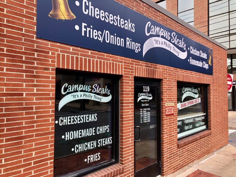
Downtown State College Cheesesteak Shop Sets Opening Date
A new cheesesteak shop that promises a taste of Philly in downtown State College has set an opening date. Campus Steaks plans to hold a grand opening on Aug. 28 […]


