

Now comes the hard part.
After days of dangerously cold weather, an arctic air mass began building over the region overnight, plunging State College into a frigid free fall.
The temperature fell steadily through the night, standing at eight degrees below zero just before 6 a.m. Friday. That ties the all-time low for this date.
The wind chills are making it feel much worse than it is — about 29 degrees below zero. A wind chill warning, issued by the National Weather Service, remains in effect until noon Friday.
Because of the intense cold, the State College Area School District decided to close schools on Friday. That’s a reversal of a plan to open on a two hour delay that was first announced Thursday evening.
And weather conditions are not going to improve much in the days ahead.
“It’s going to be cold. It’s not going to warm up a whole lot [Friday],” says AccuWeather Meteorologist Mike Doll. “We’re looking at 10 for a high. The good news is that winds won’t be quite as strong as yesterday. That said, it’s going to be 15 to 25 below this morning and 5 to 15 below this afternoon.”
The brutal cold has been with us for the entire month of February. The first 10 days of the month, there were some below average days and some above average. Since Feb. 10, Doll describes the weather conditions as “abnormally cold.”
“Since February 10th there have been well below average temperatures each day,” he says. “From the 10th thru the 19th our departure from normal has been 16.2 below average.”
Looking ahead, AccuWeather is calling for more extreme cold Friday night with a low of one below zero. The record of two below zero was set in 1968.
And then comes the snow. “We do have snow arriving Saturday probably before mid-morning,” Doll predicts. “It’s going to go pretty much continuously through the day. Roads will become slick with hazardous travel conditions.
There could also be some sleet and freezing rain Saturday night. By the time the storm moves out we could see three to six inches of fresh snow. Temperatures will begin to rise, reaching a high of 37 on Sunday. But then the cold weather returns.
“The next cold front moving through will drop temperatures Sunday night, for a low of two degrees Sunday and we’re probably going to see a high in the mid-teens on Monday,” says Doll.
And there is simply no relief in sight. “We’re not seeing any change in the weather pattern that suggests a pattern of near normal temperatures coming up, certainly not next week,” says Doll.
Popular Stories:
Attorney General Says Bellefonte Police, County Commissioners Overstepped Authority
Penn State Says McQueary’s Request for Emails is ‘Without Merit’
Freeh’s Law Firm Accuses Paterno Estate Lawyers of ‘Burying Their Heads in the Sand’
Library Closed Until Next Week While Recovering from Broken Water Pipe
The Nittany Lion Is Dancing In THON, Suit And All
46 Hours For The Kids: THON By The Numbers
Top 10 All-time Penn State Rankings For All Six NFL Combine Test
Penn State Football: Schedules And NFL Evaluations For Each Combine Participant
Penn State Football: Former Defensive Coordinator Tom Bradley Lead Candidate For UCLA Job
Bill O’Brien: Removing NCAA Sanctions ‘The Right Thing To Do’
Close, But No Cigar: No. 5 Wisconsin Defeats Penn State, 55-47
More Community & Entertainment
View all Community & Entertainment
January Is a Call to Action to Respond to Stalking
This column by Centre Safe Executive Director Jennifer Pencek originally appeared in The Centre County Gazette. When we talk about acts of interpersonal violence, oftentimes people will focus on sexual […]

Busy Weekend of Fall Festivals and More on Tap Around Centre County
The weekend of Sept. 29-Oct. 1 is packed with activities around Centre County, including fall festivals, Oktoberfests, fairs, concerts and more. Check out some of the weekend highlights below. For […]
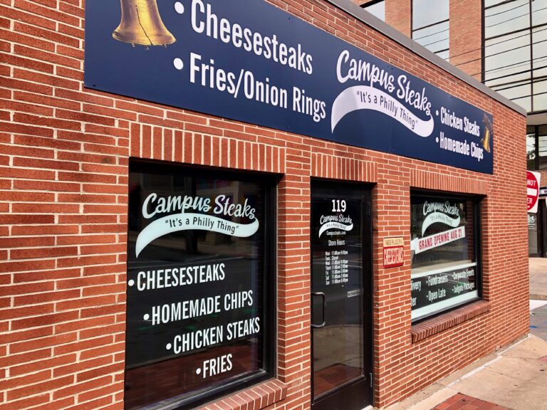
Downtown State College Cheesesteak Shop Sets Opening Date
A new cheesesteak shop that promises a taste of Philly in downtown State College has set an opening date. Campus Steaks plans to hold a grand opening on Aug. 28 […]


